A few weeks after securing the design commission, I went on yet another site walk to finalize the routing, this time in subzero weather. Both the cold and the knowledge that I would be embarking on a new golf course design were exhilarating. While I had prepared a routing for the sales presentation, this time I knew the routing was for real and I was armed with the knowledge I needed to meet federal environmental requirements of "zero wetland impacts" for construction to proceed immediately. This fact forced some changes.
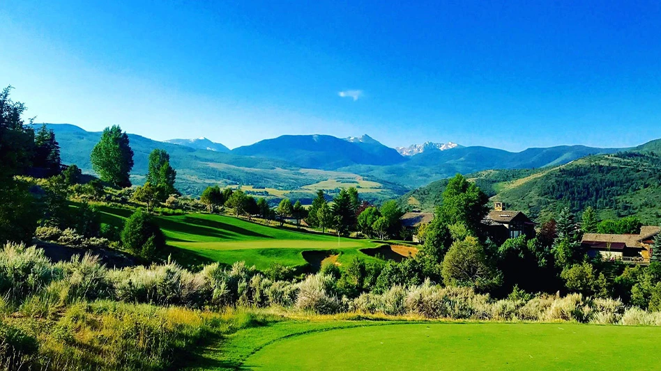
Locating the clubhouse site was the first step, as it required room for parking, cart storage and staging and practice areas. Our site is an L shape, comprised of six 40-acre quarter sections with three prominent ridges, including one in the center, and a large creek valley running to the southeast corner. One logical clubhouse location was across the road from the casino, right on the highway. But, using the center ridge near the crotch of the L provided a centralized clubhouse that allowed returning nines and avoided opening and closing holes to play into a low sun. I had to move the range from the sales plan because it crossed a creek. I found that placing the range on that main ridge, which didn’t look promising on the plan, actually looked great on the ground, and it didn’t require any creek impacts or tree removal.
Eventually, we used that upper portion of that ridge for tee and green sites, moving the clubhouse halfway back down the hill to a tree-lined meadow to create its own internal views. The clubhouse is far enough off the road for serenity, but is close enough to reduce entry road and utility connection costs. It could have better visual control of opening and closing holes.
With that set, I began the final routing of the course, using many holes I had considered in earlier versions of the sales routing. My first rule of routing is simply fit the best and natural 18 holes on the property. My second rule is that if a routing works out well after just one try, it probably has 17 or 19 holes, rather than the required 18. In fact, I found natural holes in abundance and actually had more trouble connecting good holes than I did finding them.
Routing sets an eternal footprint, creating the most charming golf holes and efficient circulation (i.e., easy walking) while minimizing earthmoving. We have moved less than 100,000 cubic yards of earth (about 1/10 to 1/3 of typical modern courses). Only holes 3, 4 and 11 required cutting through ridges for visibility, and I reduced the cut on 4 by accepting a blind tee shot over a deep hazard, reminiscent of the famous 4th at Royal St. George in England. I had always wanted to build a hole like that.
Our site has three distinct visual zones – agriculture to the west, heavy trees in the center and a mixture of pastures with random tree lines to the east. Our routing starts in the trees to create a good impression, runs through the agriculture land and then weaves back into the treed areas on the back nine, giving golfers a mixture of experiences – and building to a strong finish.
While I consider what holes will look like in the routing plan, it’s only after we finish a routing that I detail out each hole’s design, which we will cover next month. GCI

Explore the September 2009 Issue
Check out more from this issue and find your next story to read.
Latest from Golf Course Industry
- Editor’s notebook: Green Start Academy 2024
- USGA focuses on inclusion, sustainability in 2024
- Greens with Envy 65: Carolina on our mind
- Five Iron Golf expands into Minnesota
- Global sports group 54 invests in Turfgrass
- Hawaii's Mauna Kea Golf Course announces reopening
- Georgia GCSA honors superintendent of the year
- Reel Turf Techs: Alex Tessman


